About Us
Who is Thunderbird Geospatial Inc.?

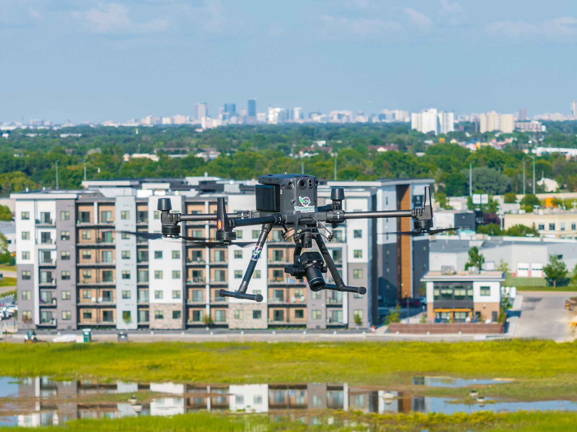
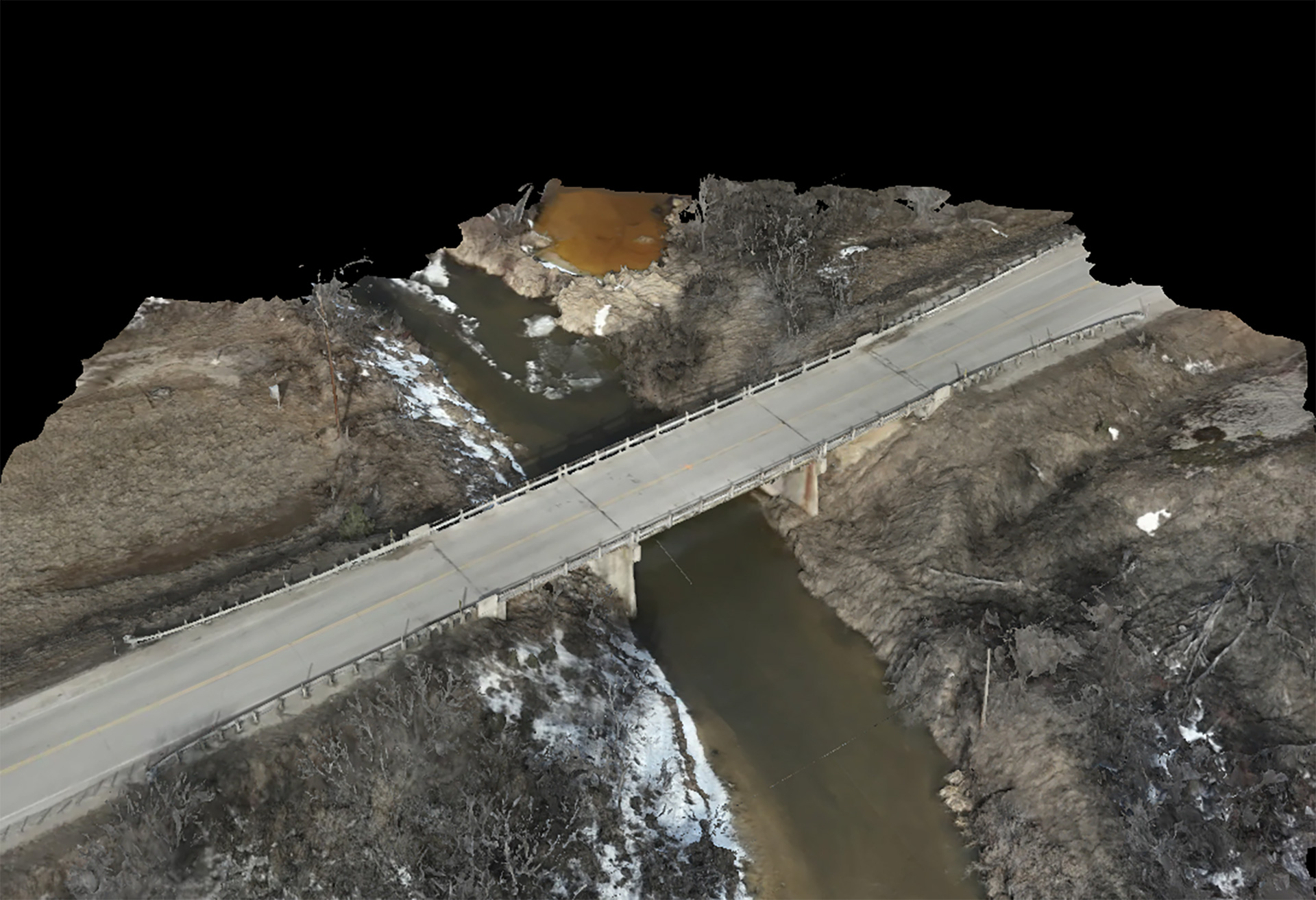
Thunderbird Geospatial Inc. also known as TGI, is an Indigenous Partnership. A partnership that brings professionalism, recognition, and respect to our Treaty Territories as we acquire accurate and useful land and asset information to all our respected clients. TGI, a VFX LiDAR Scanning, and 3D Mapping company located on Treaty One Territory, primarily focuses on acquiring and processing 3D datasets collected from state-of-the-art airborne and ground-based sensors. With years of experience in airborne data collection combined with our advance processing techniques, TGI excels at creating a higher level of detail and accuracy for 3D digital twinning in industries such as, film production, engineering, architecture, construction, asset management and development.
Our Mission
At TGI, our mission is to revolutionize the digital 3D world with our commitment to innovation that drives us to continuously enhance our techniques and adopt the latest advancements in LiDAR Technology and reconstruction software’s. As stewards of creativity and technology, we are dedicated to pushing the boundaries of what is possible in 3D mapping and visual effects. Together, we will shape the digital future, one scan at a time!
