3D Mapping
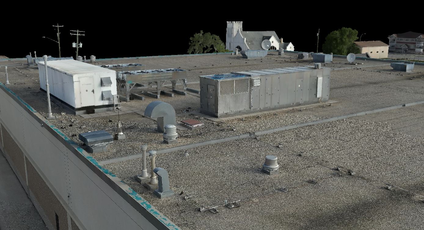
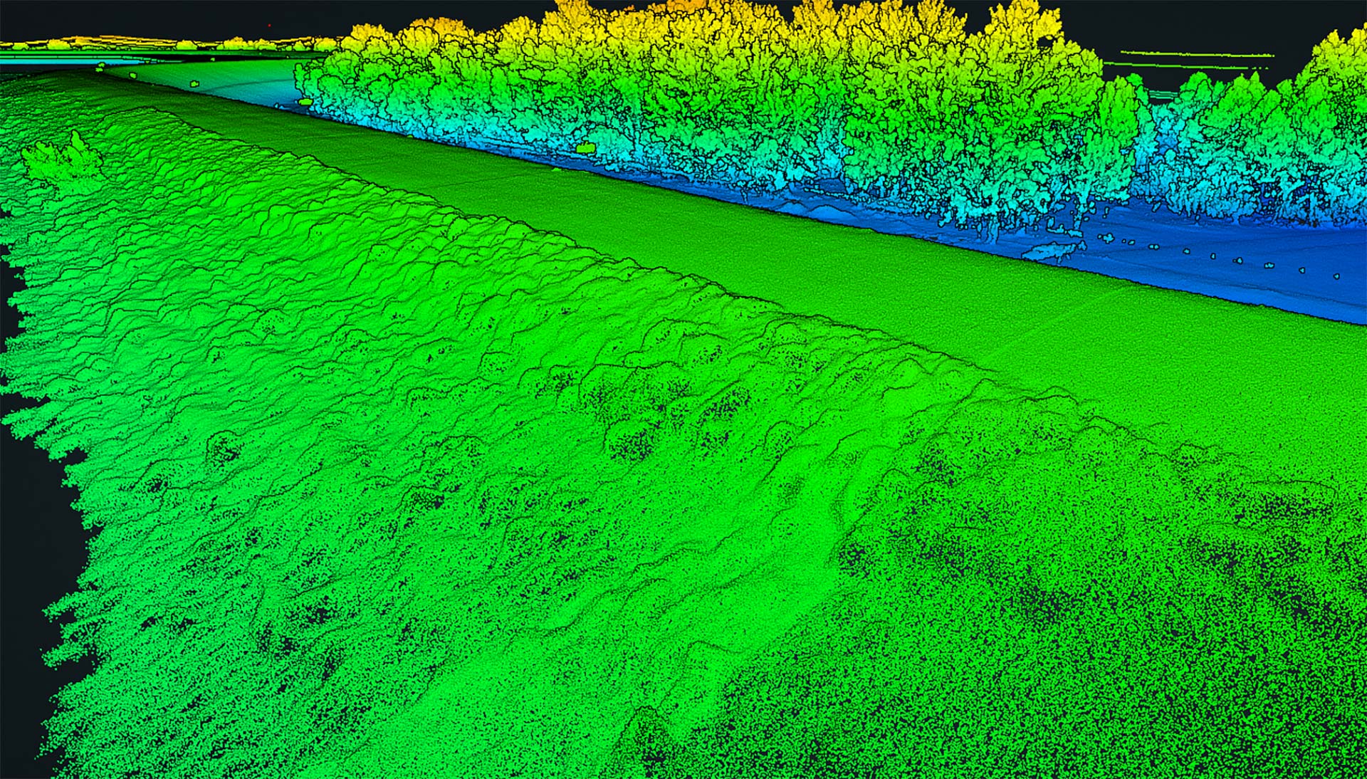
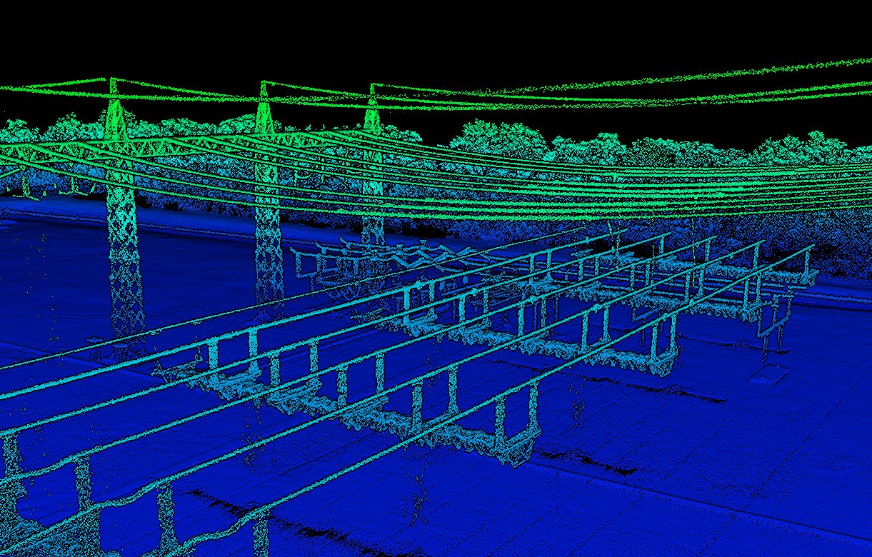
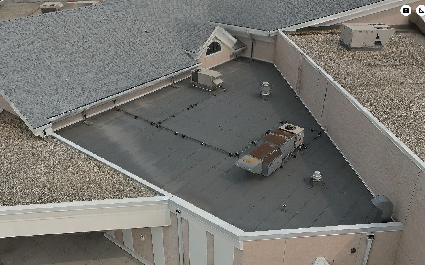
Our commercial grade drones equipped with LiDAR and Photogrammetric sensors help provide us with precise and detailed representations of the earth’s surface and its assets.
Our airborne and ground-based GPS/GNSS systems provide accurate representations for:
- Topographic Surveys
- Asset Management
- Environmental Studies
- Urban Planning and Development
- Disaster Management
- Construction
- Structural Inspections
Our airborne and ground-based GPS/GNSS systems provide accurate representations for:
- Topographic Surveys
- Asset Management
- Environmental Studies
- Urban Planning and Development
- Disaster Management
- Construction
- Structural Inspections

With years of experience collecting geospatial datasets, combining with our data processing techniques, survey grade technology and industry leading software’s, we provide our clients with all forms of geospatial information including:
- High Density Point Clouds
- Digital Elevation Models (DEMs)
- CAD Modeling
- Contouring
- 3D Meshing and Texturing
Our 3D Mapping Techniques are tailored to meet the needs of all our respected clients. Experience, efficiency and our commitment to accuracy, quality and innovation provide better planning, management and understanding of our environment.
Our 3D Mapping Techniques are tailored to meet the needs of all our respected clients. Experience, efficiency and our commitment to accuracy, quality and innovation provide better planning, management and understanding of our environment.

Connect With Us
Whether you require 3D representations for visual effects in the film industry, engineering, architecture, environmental monitoring and development, or any other industry, we have the expertise to handle it all.
